
Work a Greensboro Street Directory Search
An address-first Greensboro search is strongest as a chain, not a one-screen answer. The Guilford property system keys records by address, owner name, or parcel number. Its card points to the land record through the deed book, page, date, and legal description. GIS then places the parcel among streets, planning areas, city boundaries, and other public geography. Older city directories can help with a past address, while the state voter search is a name-and-status tool rather than a street-wide roster.
- Enter the complete address in Guilford Real Property Listing. Save the REID or PIN, situs address, legal description, and deed reference from the matching card.
- Use that address or REID in the Guilford Area Plan Viewer. Check streets, cities, zoning, watershed, planning, and other layers that explain the parcel’s setting.
- Follow the deed book and page to the Register of Deeds real-estate search. Compare grantor, grantee, recording details, plats, acreage, and the legal description.
- For a civic cross-check, search a known person through the North Carolina Voter Search. Read its status and protected-address limits; it is not a browse-by-street tool.
- When the question is historical, compare the address with Greensboro directory runs, microform, or a library researcher’s guidance. A reverse or criss-cross section can put an older occupant clue beside a street number.
Record the search date and the exact address spelling. A modern address path can break when a tract was divided, a road label changed, or the recorded address was only a corner or neighborhood description.
Greensboro Street Directory Property Cards
The Guilford NCPTS property card is the current address anchor for this Greensboro search. A parcel-number search accepts up to seven digits without leading zeros. Owner-name searches require at least three letters and work best as “Last name, First name”; a trailing comma requests a last-name-only match. For an address, enter at least three street letters or three address digits. A complete address is more precise than a house number alone, which can return several similar numbers.
| NCPTS field or control | How the Greensboro street search uses it |
|---|---|
| Parcel Number | Search choice; use up to seven digits and omit leading zeros. |
| Owner Name | Search choice; enter at least three letters, preferably “Last name, First name.” |
| Address | Search choice; use at least three street letters or three address digits, with the full address when possible. |
| Search results | Rows-per-page control; hovering can reveal additional owners. |
| Property card | REID/PIN, owner, mailing and situs addresses, legal description, deed data, values, and tabs. |
The official Guilford NCPTS property-card portal shows the current parcel-search surface used for this address-first step.
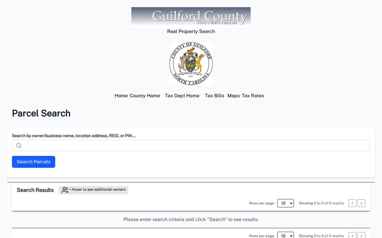
The card separates the location of the taxable parcel from the address used for correspondence. Capture both before treating either as a match for a person. A Greensboro situs can have a mailing address elsewhere, and neither field alone confirms a person’s presence at the address.
Note: Parcel facts are useful identifiers, but a property card does not list every person associated with a street address.
Greensboro Streets in Area Plan Layers
Map work gives a Greensboro address result its geographic context. The text-visible Area Plan Viewer has separate By REID and By ADDRESS tabs, then offers parcel details such as REID, owner name, address, and legal description. Its planning controls include Plan, Area Plan Detail, Land Use, and Sub Area Plan. The layer list includes streets, cities, zoning, watershed, landmark properties, water and sewer boundaries, scenic corridors, creeks, lakes, planning areas, and other county geography.
Guilford’s Area Plan Viewer is the documented alternative when a street search needs readable parcel and planning layers.
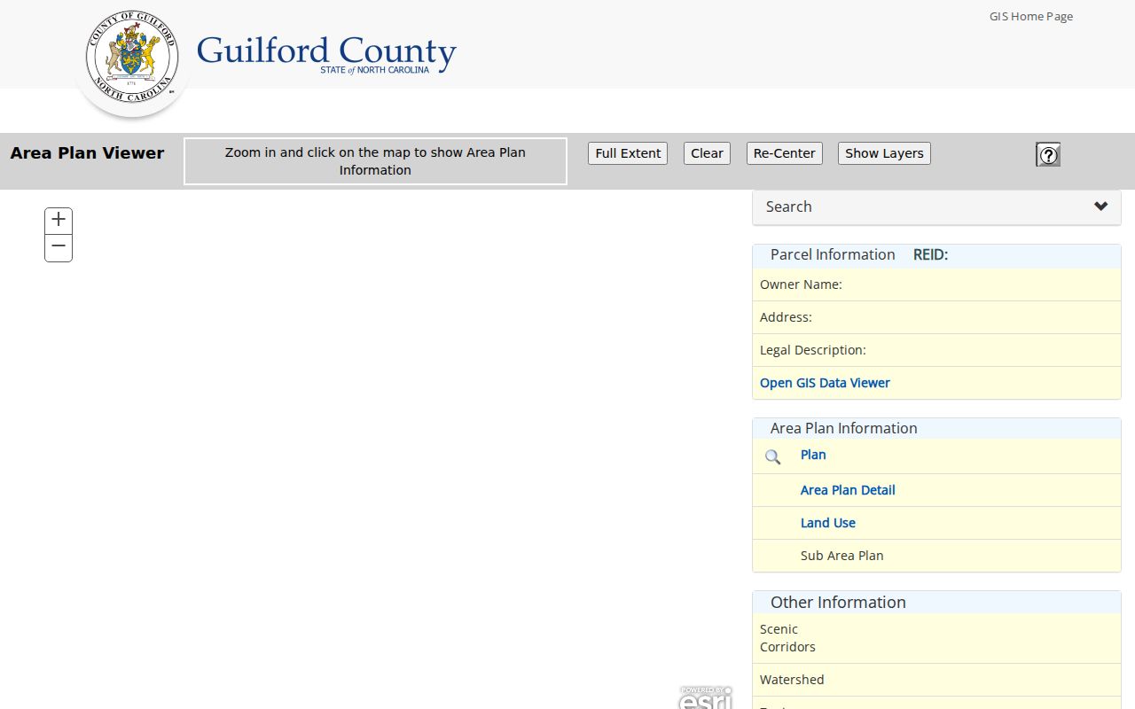
Use the selected parcel’s REID to return to the property card. The Primary Data Viewer is also available through the county, but its detailed live controls were not exposed during the documented inspection, so no unverified layer or radius feature is assumed here.
Greensboro Street Records by Address
Address-keyed sources answer different parts of a Greensboro street question. The county parcel card is the current crosswalk. GIS supplies boundaries and planning context. The Register’s index holds the recorded land trail. City Development Services can associate a permit or inspection with an address or permit number. Historic directory and map collections add earlier street labels and building context. Treat each result as evidence with a scope, not as a complete household list.
| Greensboro address source | Key used | Useful record details | Access route |
|---|---|---|---|
| NCPTS property card | Parcel, address, or owner | Owner, mailing and situs, REID/PIN, legal description, deed reference, values | Free online search; Tax Department contact for corrections |
| Parcel Research | Query fields, including ZIP and owner | PHYADDR_ZIP, property owner, zoning, ETJ, values and deferred values | Free query, 150 displayed results, CSV export |
| GIS and Area Plan | Geometry, REID, or address | Parcel geography, zoning, watershed, districts, planning and city layers | Free online viewers |
| Deed index | Grantor, grantee, legal description | Conveyance, recording date, book/page, consideration, plat reference | Online landing, office counter, books or microfilm |
| Permit or inspection | Address or permit number | Work and inspection event tied to the address | City scheduler or narrowly described records request |
| Directories and maps | Year, street, name, or map sheet | Older occupant clue, address notation, building or street context | Library, museum, scans, microform, or appointment route |
The parcel number and legal description are more stable than a street label. Carry them from the card to the deed index and a plat when an older deed uses a lot, block, acreage, or metes-and-bounds description instead of the modern number. For a narrower individual question, the Greensboro resident lookup uses a name-first verification path rather than rebuilding a whole street.
The Tax Department describes a permanent listing system in which real property is automatically listed when a deed is recorded. Its current tax data and a property card provide a snapshot, not a final statement about a person or the condition of a parcel. When a card appears wrong, use the department’s real-estate appraisal or records contact, rather than altering the search terms until an unrelated result seems to fit.
Guilford GIS Online Services links the county’s property, planning, election, billing, and map tools in one official index.
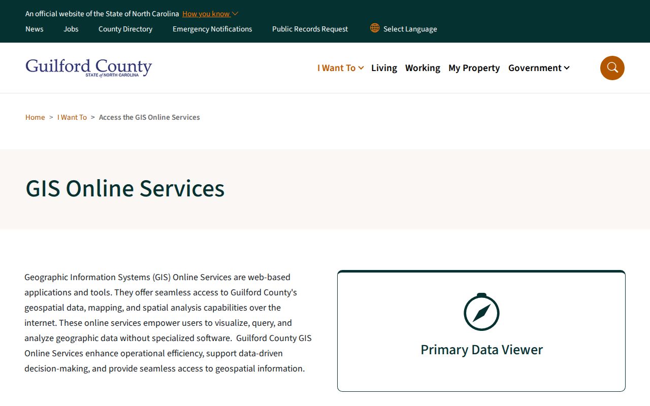
The service index helps distinguish which tool is a parcel viewer, a planning viewer, a property search, or an election map. That distinction prevents a map result from being mistaken for a personal record.
Deeds and Permits on Greensboro Streets
A deed chain starts with the current NCPTS card’s deed book, page, date, and legal description. In the Register of Deeds index, search the current grantee and grantor, then compare the seller’s earlier acquisition. Repeat the sequence while checking lot and block, plat, acreage, adjoining tracts, and the legal description. A parcel can split or merge, so a matching street name is not enough to establish continuity.
Guilford says its online land records reach back to 1771, yet the live RDLxWeb form did not expose every field in the documented inspection. That claim does not promise that every older image is available online. The verified fallback is the Register’s office, books or microfilm, and the Greensboro Public Library’s deed guide, which advises surname-then-given-name searching and use of conveyance, consideration, and book-page columns.
The Guilford County Register of Deeds keeps official records at 201 W. Market Street in Greensboro. The office lists counter, phone, email, mail, and online routes, and generally operates Monday through Friday from 8 a.m. to 5 p.m. Its main number is 336-641-7556. When an online service is slow, the counter or a targeted request is a documented alternative; use a book/page or a precise instrument description whenever one is available.
City permits and inspections are a different kind of address evidence. Greensboro’s BI Scheduler documentation supports lookups by address or permit number, while the full live field list and retention coverage were not exposed. Ask for a specific address, permit number, date range, or project. A permit can date agency activity at a parcel, but it cannot establish who was present there.
Greensboro Street Directory History Clues
Older Greensboro directories can bridge a gap after the current parcel and deed trail. Look for a street section or reverse, also called criss-cross, directory. Read the number and street together with any occupant notation, institution, business reference, or abbreviation. The 1887 African-American directory uses corner descriptions and neighborhood labels such as S.G., so an old record may not resemble a current numbered address.
- Parcel
- A defined piece of land in the county tax and map system, commonly identified by a REID or PIN.
- Situs address
- The physical location used for the taxable parcel, distinct from the address where correspondence is sent.
- Plat
- A recorded map that can connect a subdivision lot and block to the land description used in deeds.
- Criss-cross directory
- An address-oriented directory section that can place older names or institutions along a street.
Greensboro’s directory collections include digitized runs, library microform, and appointment copies. The Greensboro Public Library genealogy resources are a documented help route, while the Greensboro city directory collections provide the full historical-shelf method when an address needs to be traced across years.
Note: An old directory entry can be a useful address clue, but it needs a date, place, and another record for confirmation.
Greensboro Streets, ZIPs, and City Lines
Street labels can change with annexations, closings, and renamed roads. Greensboro Planning tracks annexation and street-change cases and preserves legal descriptions in map PDFs. Address authority also differs by location: Guilford GIS assigns or modifies addresses in unincorporated county areas and several towns, while Greensboro and High Point handle their own road signs. The countywide Master Road Name database links municipalities, Emergency Services, Guilford Metro 9-1-1, and developers.
Postal geography adds another limit. ZIP 27406 is broadly described as South Greensboro but only partly lies within city limits. A Greensboro mailing city or ZIP therefore does not settle municipal jurisdiction, tax geography, or the correct records office. Use the parcel card’s city or planning fields and the city-limit map after confirming the address through USPS.
Limits of a Greensboro Street Directory
No Greensboro street directory can produce a complete roster for an address or block. Parcel ownership is not the same as current presence. The public voter search requires a person’s name and does not provide an anonymous browse-by-street screen. Protected voter addresses, people who are not registered, children, and other household members are not recovered through the parcel card. DMV address information is restricted under the federal DPPA, and city utility customer information is not public.
North Carolina makes many records accessible under its Public Records Law, N.C.G.S. Chapter 132, but access still follows the record’s custodian and exemptions. A targeted request may be made in person, by mail, phone, or electronically. The custodian need not create a record or a new compilation that does not exist. Ask for a defined address, date range, record category, or project, and respect any redaction or confidentiality decision.
Lawful use. Greensboro address records are for personal, lawful research and civic or family-history questions. Do not use a record trail to stalk, harass, intimidate, or harm anyone.